Close this alert
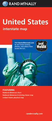
Rand McNally United States
Current price:
$5.99
Publication Date: March 1st, 2010
Publisher:
Rand McNally
ISBN:
9780528881282
Pages:
0
Description
Rand McNally's United States folded map features clear, easy-to-read cartography showing all Interstate and U.S. highways, along with clearly indicated cities, points of interest, airports, boundaries, and more.
Rand McNally folded maps have been the trusted standard for years, offering unbeatable accuracy and reliability at a great price.
Interstate and U.S. highways
Indications of cities, points of interest, airports, boundaries, and more
Mileage chart
Mileage & driving times map
National facts and symbols
Toll roads chart
United States physical map
Visitor information
Copyright 2019
Product Details
Measures 4.125" x 9" and folds out to 25.5" x 36.75".