Close this alert
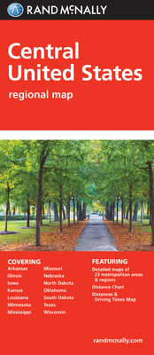
Rand McNally Central United States Regional Map
Current price:
$5.99
Publication Date: March 1st, 2010
Publisher:
Rand McNally
ISBN:
9780528881114
Pages:
0
Description
Rand McNally's folded map featuring the Central United States is a must-have for anyone traveling in and around this part of the country, offering unbeatable accuracy and reliability at a great price. Our trusted cartography shows all Interstate, state, and county highways, along with clearly indicated points of interest, airports, county boundaries, and more.
You'll see why Rand McNally folded maps have been the trusted standard for years.
Regularly updated, full-color maps
Clearly labeled Interstate, U.S., state, and county highways
Detail maps of major cities, a mileage chart, and a Mileages & Driving Times Map
Indications of parks, points of interest, airports, county boundaries, and more
Easy-to-use legend
Coverage Area
States covered: Arkansas, Illinois, Iowa, Kansas, Louisiana, Minnesota, Mississippi, Missouri, Nebraska, North Dakota, Oklahoma, South Dakota, Texas, and Wisconsin
Product Details
Measures 9.5" x 4.125" and folds out to 40" x 28".
Scale: 1" = 43 mil.